
FIG.1
This is a report on the Urban Science Workshop titled “The Science of Walkability,” co-hosted by the ASIBA General Incorporated Association and Mr. Yuji Yoshimura (Specially Appointed Associate Professor at the Research Center for Advanced Science and Technology, The University of Tokyo) on March 18.The event was held at the University of Tokyo’s Komaba II Campus. We were delighted to welcome a large number of attendees from fields beyond architecture and urban planning, making the event a great success. We would like to extend our sincere thanks to everyone who participated.
Through lectures and an ideathon, this workshop explored the following three questions:
・How does a scientific approach change the way cities are built? ・What impact does walkability have on cities? ・What kind of communication is needed to make urban planning more accessible to citizens?
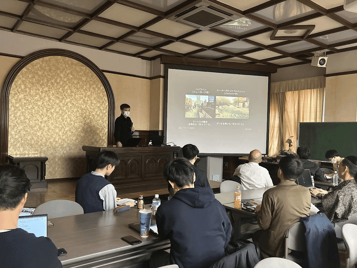
FIG.2
First, Professor Yoshimura, who conducts research on urban science, delivered a lecture. Using Barcelona—a city where walkability is actively promoted—as an example, he explained urban development based on city data.Barcelona is actively engaged in data-driven urban development, implementing pedestrianization through its “superblock” policy. The initiative, which began in the Gracia district, expanded throughout Barcelona, promoting pedestrian-centered urban development.He also explained the relationship between this creation of pedestrian spaces, the reorganization of the transportation network, and retail sales. It was very enlightening to see how data was used to demonstrate the usefulness of the abstract concept of “walkability” and its connections to various aspects of urban life.
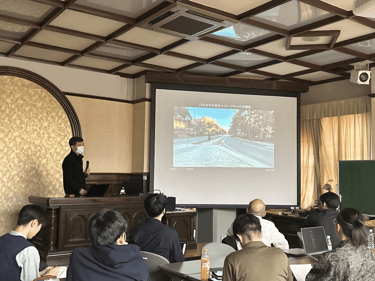
FIG.3
Next, we received a lecture from Professor Koga, who conducts research on the potential links between urban development and health. Health depends not only on personal factors—such as daily rhythms and genetic factors—but also heavily on environmental factors surrounding the individual.He explained, using research data, that “primary prevention”—a form of prevention that does not rely on individual effort, such as the improvement of the local environment—is a key approach, and that making areas more walkable is useful in promoting this type of prevention. The content was very interesting, covering topics such as the relationship between walkable neighborhoods and the incidence of dementia, as well as the link between the proportion of green spaces and depression.
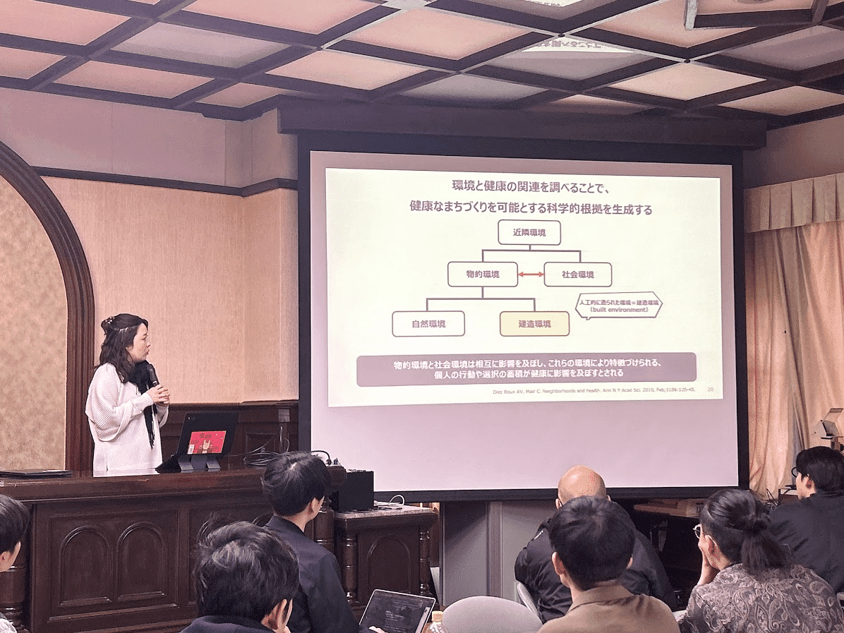
FIG.4
Finally, we received a lecture from Mr. Morihara of NESS, who aims to transform the way cities are built using generative AI.By using generative AI to output images that represent people’s subjective opinions and intentions regarding cities, their will can be visualized as data and incorporated into discussions. In fact, as part of the Kyojima LoRA Project, images generated using generative AI were exhibited at a local arts festival, allowing us to gather genuine reactions and opinions from residents.Furthermore, in the Akabane Redevelopment Project, citizen-participatory discussions imagining the future of the Akabane area were held using generated images. This suggested the potential for image-generating AI to be used as a new tool for embodying people’s intentions and opinions.
We held an ideathon centered on the overarching question of how to link urban planning and community development with the scientific approach of data. The goal was to discuss how to measure the effects of promoting walkability in cities and how to visualize its benefits.
Participants divided into three groups and explored which of the three candidate cities each group would focus on. After selecting a city, they used sticky notes to brainstorm its characteristics and wrote them down on flip charts.Based on these characteristics, we established the following three key questions and conducted the ideathon while each group engaged in discussion:
・What are the benefits of walkability? ・What data should we use? ・How can we visualize and communicate the benefits of walkability?
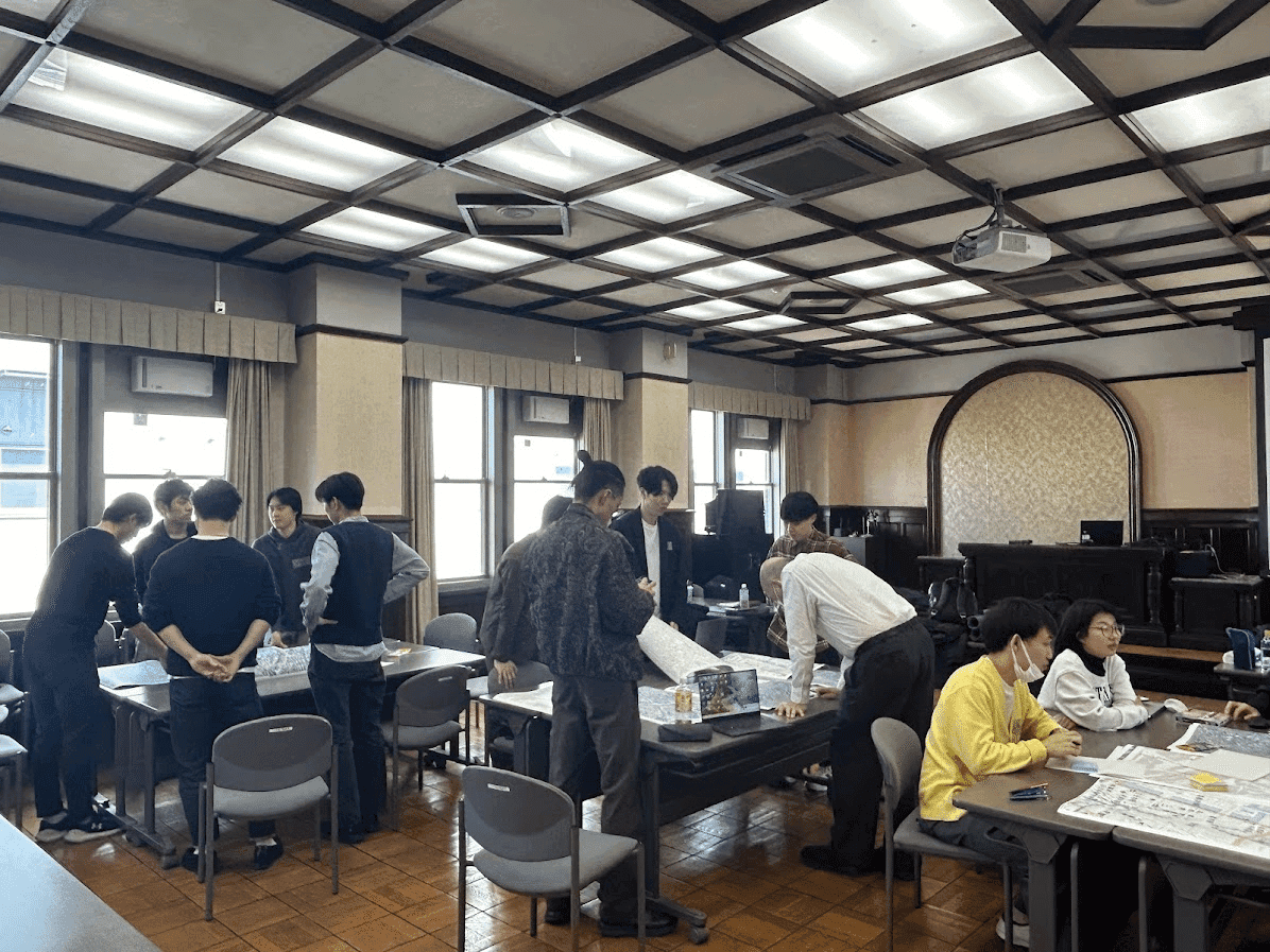
FIG.5
As discussions within each group became more intense, each group—including the instructors—took turns presenting their proposed approaches to the others. Even when groups selected the same area, they had different perspectives on how to link walkability with data and which elements of the city to focus on.This provided an opportunity to objectively assess each other’s ideas and exchange candid feedback to foster deeper thinking.
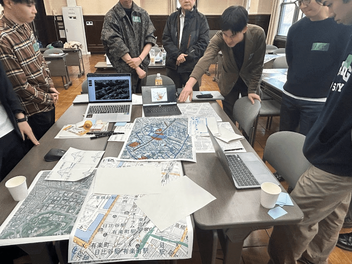
FIG.6
During the interim presentations, we were able to gather feedback from the instructors and members of other groups. Building on that feedback, we re-examined and refined our proposals in preparation for the final presentation. A lively discussion ensued, with many ideas exchanged on how to use data to approach the benefits of walkability and how best to communicate those benefits.
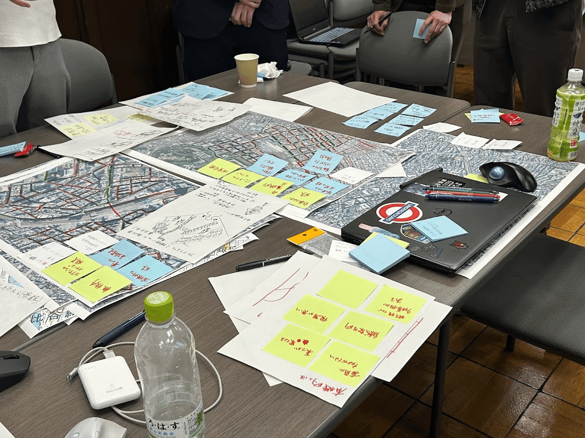
FIG.7
Finally, each group gave a presentation, and the evaluators provided feedback on feasibility, potential for further development, and other aspects.
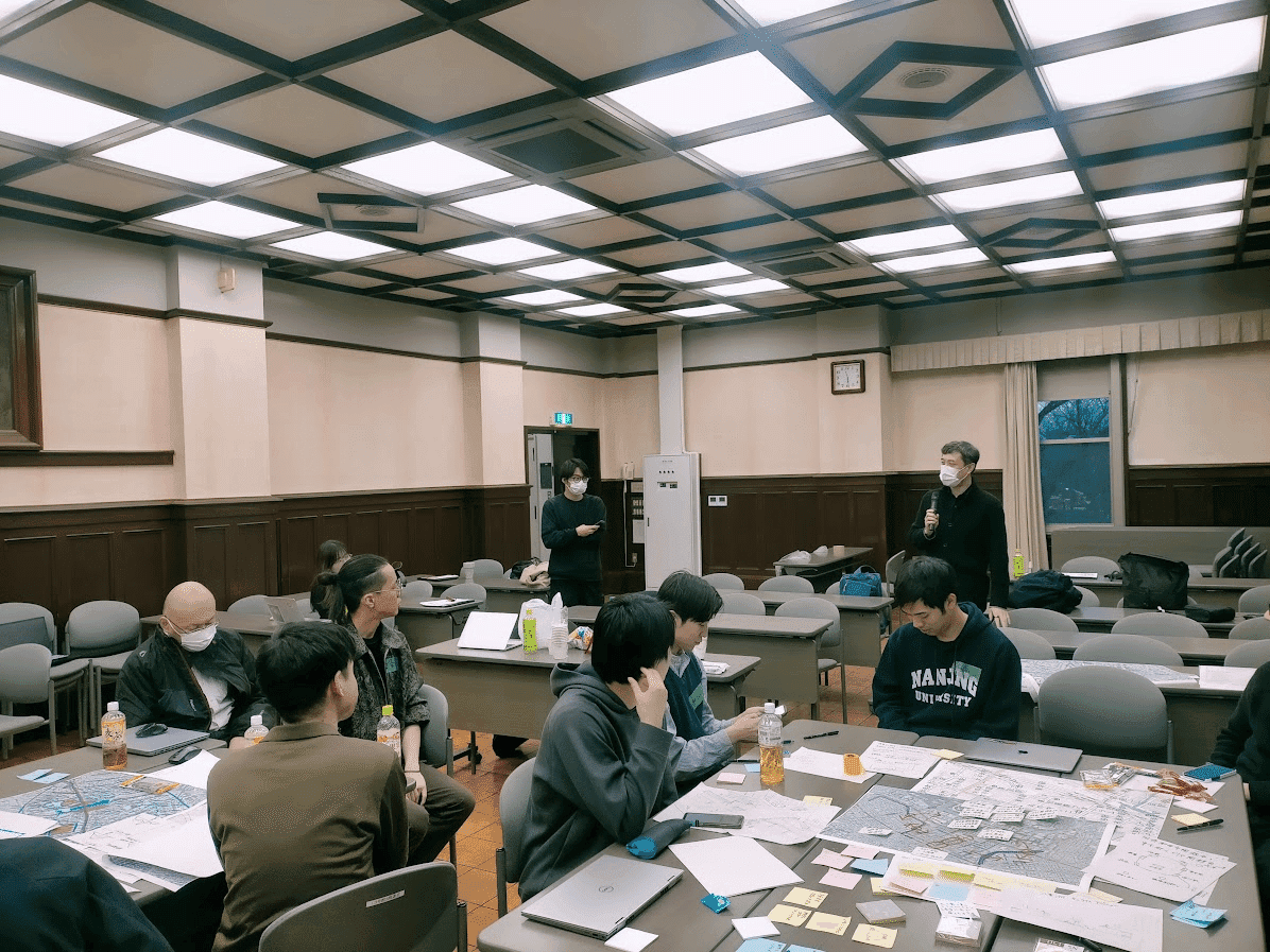
FIG.8
Group 1 Location: Ikebukuro Area Theme: Greening Content: From a biophilic perspective, we assume that people will consciously choose routes with more greenery.After modeling the streets as edges and nodes, we calculated the greening rate for each edge and considered ways to make the area more walkable based on the interplay between greening rates and route selection.
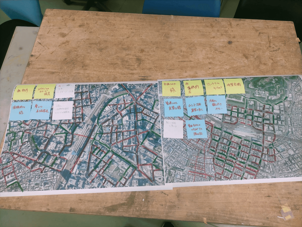
FIG.9
Group 2 Location: Ikebukuro Area Theme: Changing the range within which visitors to Ikebukuro move Content:We will transform major thoroughfares into walkable spaces to connect the East and West Exits of Ikebukuro Station. While redirecting pedestrian flow from the East Exit—which sees heavy tourist traffic—to the West Exit, which sees less, we will analyze movement data around Ikebukuro Station—where each area has distinct land uses—to explore the sense of place.
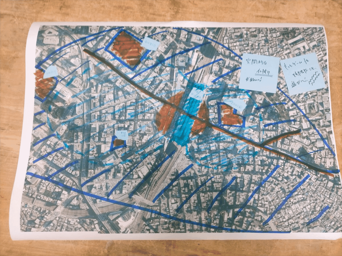
FIG.10
Group 3 Location: Tokyo Station, Yaesu Area Theme: Revitalizing the area around Tokyo Station, particularly the Yaesu Area Details: To counter competition between different areas within Tokyo, we aim to revitalize the Yaesu Area by creating a walkable connection between the Yaesu Underground Shopping Arcade and the street level.
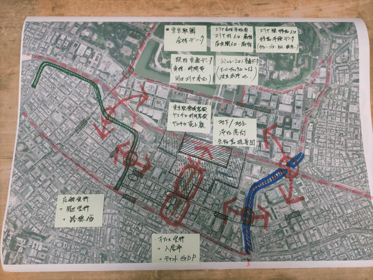
FIG.11
Each participant, coming from different fields, examined the concept of “walkability” from their own unique perspective. Through mutual discussion, they generated excellent proposals that would never have emerged from individual thinking alone. It also served as a valuable opportunity to reexamine the recently touted concept of “walkability” from a data-driven perspective. I’ve also heard that the members who met at the workshop have started a study group.I hope everyone will continue to explore the questions raised in this workshop in their own unique ways! (Text: Motoaki Usui)
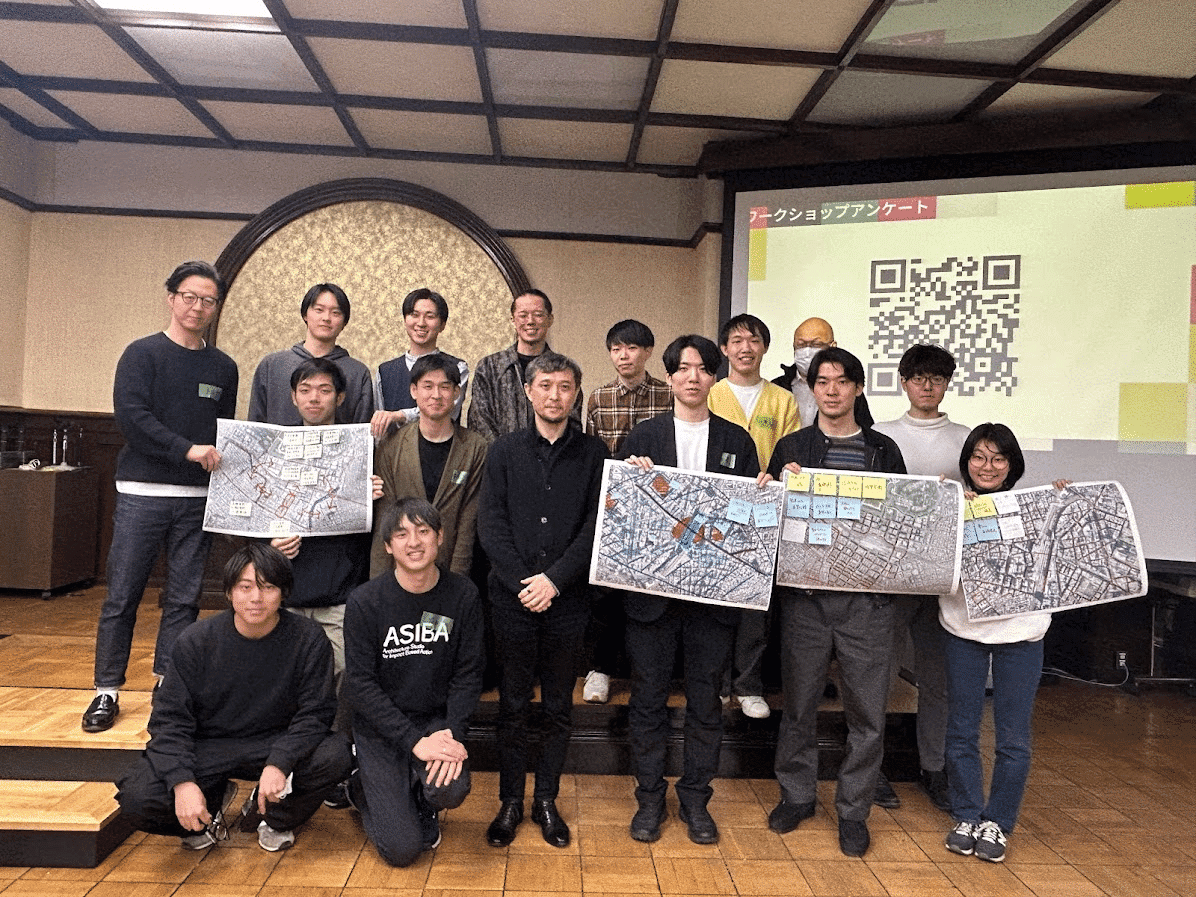
FIG.12
Credit


